


.png?width=100&height=100&name=Media%20hits%20Groundhawk%20(1).png)
Quality documented
in real-time, powered by AI
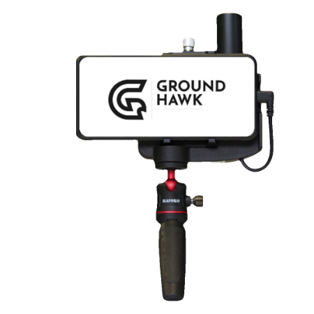
Meet Groundhawk, the future of underground cable mapping and real-time as-built documentation.
Exact and real-time open trench mapping is now a reality – and easier to conduct than ever. Thanks to Groundhawk’s precision GPS positioning and advanced AI, the mapping can now be done by anyone on site – at an affordable price.
Map the underground cable trench already during the construction phase. 3D scan the trench in seconds and capture also the depth. Track the progress of your projects in real-time.
Use the calculator to find out a rough potential of cost savings by using Groundhawk instead of traditional mapping and documentation.